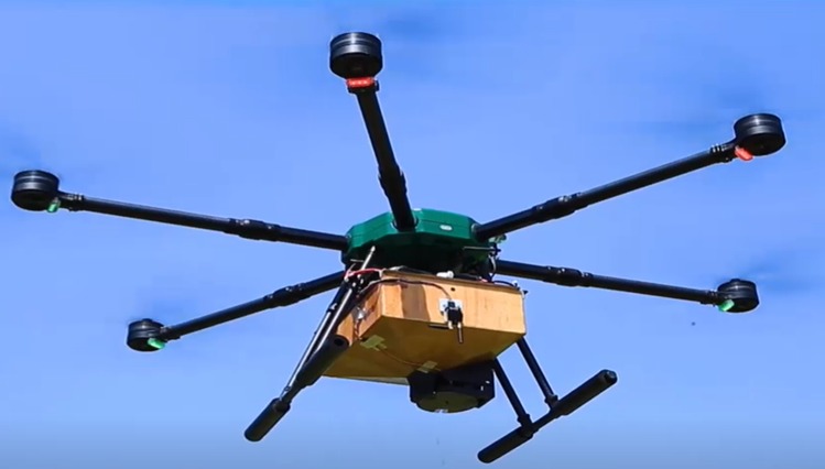
ISLAMABAD: Pakistani scientists have introduced an intelligent unmanned aerial system (UAS) for sustainable forest management.
Pakistan is one of the countries adversely affected by climate change and environmental degradation. Developing large areas of forests can help overcome this issue.
Dr Abdul Munem Khan, Professor at the Aerospace and Avionics Engineering (AAE) Department, Institute of Space Technology Islamabad, told WealthPK that a UAS-powered system could promote rapid forestation in a safe, cost-effective, fast, and environment-friendly manner. He said drones are now used in forestry to help manage forests and monitor the health of trees and sowing seeds. They’re also used to map landscapes, measure forest density, and collect data on tree characteristics.
Dr Munem said the drones used for forests management are multi-copters having fixed wings. Fixed-wing drones are used for surveying and mapping large forest areas.
While explaining the benefits of multi-copter drones, he said they are flexible. Since they take off and land vertically, they don’t require a large area to start drone missions. They can also hover with little drift, giving them many advantages, such as inspecting a particular area or tree or delivering vital supplies to lost people.
Another advantage of the multi-copter drone is that it is easy to operate. Even beginners with no experience with flying drones can get a handle on them very quickly. Many multi-copter drones can also be attached with different payloads, including seeds, pesticides, and surveillance cameras.
Dr Munem said that using drones in forestry will save money and speed up introducing drones into the workflow by reducing the need for extensive training for forestry professionals.
While explaining the functioning of the UAS-powered sustainable forest management system, he said this is effective at gathering data on tree characteristics like height, diameter, age, and location. He said this system helps collect information for monitoring the health of a forest and making informed decisions about how to manage it.
“One of the main reasons that drones are such a good tool for forestry is that they allow for precision and accuracy regarding spatial data. Drones could take high-resolution images and videos from very low altitudes, making them ideal for mapping,” Dr Munem said.
He said that authorities could use a UAS-powered sustainable forest management system to help in the fight against forest fires. He said the system collects data about the spread of a fire, its intensity, where more resources need to be allocated, and where to look for survivors. He said drones are also being used to carry out controlled burns to reduce the impact of forest fires and stop their spread.
Drones are also being used to counter the effects of deforestation by planting seeds at a much faster rate than manual procedures.
“In this way, forestry professionals can reforest at scale and reduce the effects of climate change,” Dr Munem said.


