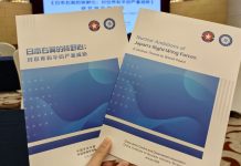
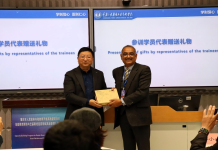
BEIJING: A free training course Satellite Receiving Station and Remote Sensing Application is being held to enhance scientific data service capabilities of Pakistani students and young professionals.
“It’s very nice and informative and goes beyond the purely theoretical scope and truly serves the progress of earth science in Pakistan,” said Basanta, a Pakistani student of the Chinese Academy of Sciences (CAS). As Pakistan is short of timely, high-resolution satellite remote sensing data along China Pakistan Economic Corridor (CPEC), the training course on Satellite Receiving Station and Remote Sensing Application, organized by China-Pakistan Joint Research Centre on Earth Sciences (CPJRC) in collaboration with the Institute of Mountain Hazards and Environment (IMDE) of CAS, Aerospace Information Research Institute (AIRCAS) of CAS and the International Centre on Space Technologies for Natural and Cultural Heritage (HIST) under the auspices of UNESCO, was opened in Beijing.
It is mainly for Pakistani students and young professionals both on-site in Beijing and online in Pakistan. The training course will last three days with several lectures delivered by China’s top scholars in this field.
“As we all know, CPEC is a pilot area and a flagship project of Belt and Road Initiative (BRI), which benefits both Pakistan and China. Remote sensing technologies are extremely important in various fields, including scientific research, prevention and mitigation of natural hazards, agriculture, and so on. –Agencies


